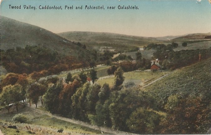
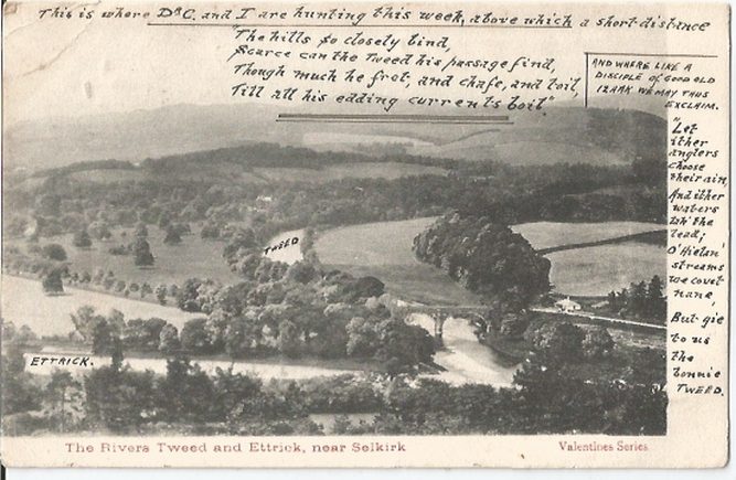
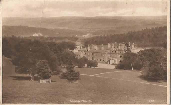
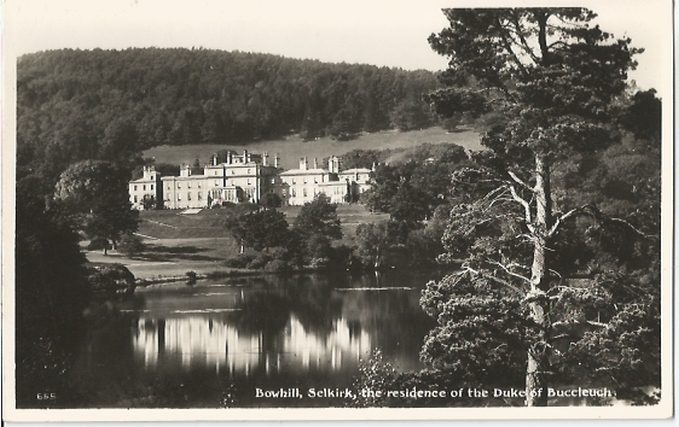
Selkirk Parish is situated in the County of the same name being bounded on the north by the Parishes of Caddonfoot and Galashiels, on the east by the Parishes of Bowden and Lilliesleaf and on the south-east by the Parish of Ashkirk all in Roxburghshire, on the south-west by the parish of Kirkhope and on the west by the Parish of Yarrow. Ashkirk is now linked with the ecclesiastical parish of Selkirk.
Old Parish Records cover the periods:
| Title | Author | Issue Number | Article Size | Synopsis |
|---|---|---|---|---|
| The Ancient Crafts of Selkirk | Jim Newlands | 32 | 1 page or more | The history of crafts in Selkirk from 1113 with the building of the Border abbeys through to the Union of the Crowns. |
| Maps | Peter Munro | 43 | 1 page or more | Brief notes about Borders maps available from the Society, and on the Internet. |
| Selkirk Bannock Genealogy | Jane Gething | 116 | less than 1 page | Here Gething gives us the origins of the eponymous crust. |
| Selkirk Migrants 1850--1865 | Alison Scott | 9 | 2 pages or more | A list of emigrants from Selkirk to various parts home and abroad, from the diary of the minister of Selkirk Parish Kirk. |
| Selkirk Poor Cases, 1844 | Peter Munro | 54 | 2 pages or more | 16 cases of Selkirk Poor from the Report of the Royal Commission on the Poor Law (Scotland), 1844. |
Historical maps © National Library of Scotland, CC BY 3.0, served via MapTiler.
An extract from the Gazetteer of Scotland, 1806
Selkirk On-line
A history of Selkirk
Auld Selkirk complete with a selection of old photographs.
1817 Selkirk Census
Selkirk Rugby Club
RCHAMS website Scotland's Places contains details of
1841 census: Selkirk, South Port, Townhead, Haining, Heatherly, Bellsheugh, Greenfoot, Dunsdale, Dunsdale Haugh, Sloethoirnbank, Pine Grove, Greenbank, Raebank, Halliday Park, Broomhill, Deanburn, Myrtle Bank, Pine Bank, Byethorn, Ladylands, Loanhead, Philiphaugh, Bowhill, Gilkkeekit, Carterhaugh, Oldwark, Newark, Blackandrew, Fastheugh, Broadmeadows, Yarrow, Fowlshiels, Falside, Harehaed, Todrig, Haining Rig, Hartwoodburn, Greenderning, Brounmoor, Moat, Middlestead, Hartwoodmyres, Oakwod, Fauldshope, Shielshaugh, Howbottom, Collons Bridge, Oakwoodmill, Howden, East Comm, Lochslacks, Deepslades, Shawpark, Shawmount, St. Helens, Shawburn, Yair, Ralees, Sunderland Hall, Linglee, Sweepsnest, Ettrick Bank, Greenhead, Whitmuirhall, Whitmoor.
1851 census: Selkirk, Kirkwynd, Haining, Heatherly, Bullsheugh, Greenfoot, Dunsdalehaugh, Shawburn, Elmpark, Haladays Park, Dovecote Park, Knowpark, Philiphaugh, Bowhill, Old Newark, Fastheugh, Broadmeadows, Foulshiels, Fallside, Howden Oakwood, Hartwoodmyers, Shielshaugh, Carterhaugh, Bowhill, Middlestead, Brownmoor, Hartwoodburn, Todrig, Bleachfield, Shawmount, Shaw, Shawpark, Sweepsnest, Linglie, Sunderland Hall, Ralees, Yair, Craig, Williamhope, Greenhead, Whitmuirhall, Ettrickbank.
1861 census: Selkirk, Dunsdale Haugh, Shawburn, Heatherlie, Philiphaugh, Foulshiels, Broadmeadows, Bowhill, Fastheugh, Newark, Oldwark, Carterhaugh, East Fauldshope, Shielshaugh, Oakwood, Hartwoodmyers, Howden, Hainging, Sunderland, Raelees, Yair, Whitmuir, Greenhead.
The population has been recorded as follows:
.