Our archive and search room is now open on Tuesdays and Thursdays from 10am to 4pm. Keep up to date via our Facebook page and Twitter.
Eddleston
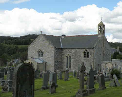
Eddleston is in the north of Peeblesshire with Midlothian to north and east. Innerleithen abuts at the south east corner, Peebles and Lyne are on the south and Newlands is to the west. The parish is in a broad valley through which Eddleston Water runs and which provided the route for both the road and the railway from Edinburgh to Peebles. There has been a church here since the 12th century but the current building dates from the 18th century. The parish is now linked with the Old Parish Church in Peebles. During World War II Polish soldiers were billeted in the area and they constructed a relief map of Scotland in a pond in the grounds of Black Barony Castle, now a hotel and the Scottish Ambulance Services training centre.
Old Parish Records cover the periods:
Births: 1640-1699,1713-1854 (Mothers' names are not recorded until 1780)
Marriages: 1665-1696, 1714-1854
Deaths: 1675-1695, 1714-1854 (Burial records were regularly kept)
A Peeblesshire Miscellany - includes Eddleston baptisms 1697-1699
Parish of Eddleston Deaths 1714-1854
See our sales list for full details and cost of postage.
Volumes available for consultation within our Archive
County Directory of Scotland 1912 - Borders Towns and Villages
Extracts from the Records of the Burgh of Peebles 1652-1716 (CD)
Pre 1855 Monumental Inscriptions of Peeblesshire
Rutherford's Southern Counties Register and Directory 1867
Magazine Articles
Please note that the heading Author includes persons who have compiled or transcribed records; and that the topics indexed, and the synopses are subjective opinions. See the Sales List to buy copies of the magazines containing articles in which you're interested.
Title
Synopsis
Size Description
Issue No
Author
Pte John Donaldson Scott
An investigation into the life of John Donaldson Scott, killed in France in 1914.
2 pages or more
97
John Simpson Barton
Grandpa Johnston's Reminiscences
A consolidated reflection of the account of his heritage and the recollections by James Johnston(e) (1825-1902) a blacksmith born in Tweedsmuir, and who died in Edinburgh. He traced is family back to the 17th century, with many forefathers buried in Drumelzier, with most men working as smiths in Tweedsmuir. James was sent to school 2 miles away in Tweedsmuir, with peat the primary fuel. The Crook Inn was the main posting and coaching stop between Edinburgh and Dumfries. There are tales of problems with the post in bad weather, and of the families running the Crook Inn. The Johnston family moved to Eddleston in 1838 with stories about the journey and the celebrations of the coronation of Queen Victoria. James moved to the school in Eddleston, with a very strict approach compared to Tweedsmuir. The family had to relocate to Macbiehill as the leaseholder re-took possession of the smiddy. Linton was the next location, and then training in Edinburgh as a veterinarian. In the late 1800s many of the family, including James's wife, son and daughter died from different afflictions. Based on transcripts sent to the Editor by Kath Baines.
6 pages or more
107
Editor
Map of Eddleston from UK Great Britain, Ordnance Survey one-inch to the mile (1:63,360), 'Hills' edition, 1885-1903 by kind permission of the National Library of Scotland. Use the control at the top left of the map to zoom in or out and drag the map left, right, up, or down as you wish.
Map of Eddleston from UK Ordnance Survey Historical Maps from 1919-1947 by kind permission of the National Library of Scotland. Use the control at the top left of the map to zoom in or out and drag the map left, right, up, or down as you wish.
Other Sources
The Buildings of Scotland
The Statistical Accounts of Scotland compiled initially between 1791 and 1799, with a subsequent edition between 1834 and 1845 are a valuable record of the geography, history, economy, people and customs recorded by local ministers. You'll need to search for the parish name